Southern California, CA — California forecasters are watching a little-known ocean phenomenon that could add to the coastal flooding and erosion risks expected during a strong El Niño season.
Oceanic Kelvin waves are developing along Mexico’s west coast and moving northward, according to climatologists. While the waves themselves are relatively small, experts say their timing could make them a significant concern for Southern California’s coastline.
The phenomenon involves slow-moving “humps” of elevated ocean water that can become trapped along the coast. Kelvin waves are associated with changes in ocean and atmospheric conditions during El Niño.
The National Oceanic and Atmospheric Administration explains that during El Niño, the winds that normally blow westward along the Equator can weaken and occasionally reverse. Those changes, known as westerly wind bursts, can trigger Kelvin waves that travel eastward along the Equator.
As the waves move toward the coast, they can contribute to higher-than-normal sea levels.
Small waves could have a bigger impact
At first glance, the size of these waves may not sound particularly alarming.
According to Dr. Daniel Swain, a climatologist with the University of California system, Kelvin waves are generally only around 6 to 18 inches tall.
But their potential impact isn’t determined by height alone.
Swain warned that Kelvin waves can persist for days to weeks. If several waves arrive close together, the effects of one may not completely disappear before another reaches the coastline.
That could gradually raise ocean water levels and leave coastal communities with less room to absorb additional water from other events.
The concern becomes even greater if the elevated water associated with Kelvin waves arrives at the same time as other coastal hazards.
El Niño, king tides and storms could collide
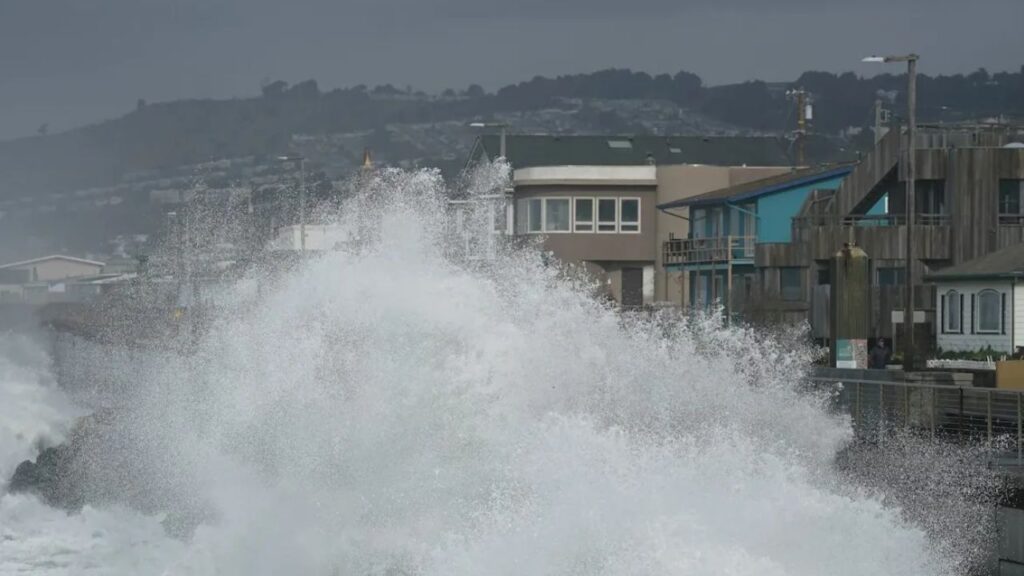
Experts are particularly concerned about what could happen if a Kelvin wave coincides with a peak king tide and a major storm surge.
That combination could create what Swain described as a triple threat for Southern California.
A strong storm can already push large amounts of water toward the coast through storm surge. A king tide can temporarily produce unusually high water levels. If Kelvin waves have already elevated the sea level, the starting point for coastal flooding could be significantly higher.
Swain warned that if all three factors line up, Southern California could potentially experience record-breaking coastal flooding this year.
That worst-case scenario remains dependent on timing and weather conditions, but it is one reason forecasters are closely watching developments along the coast.
California has already seen signs of coastal damage
The concerns come as Southern California has already experienced coastal impacts linked indirectly to El Niño.
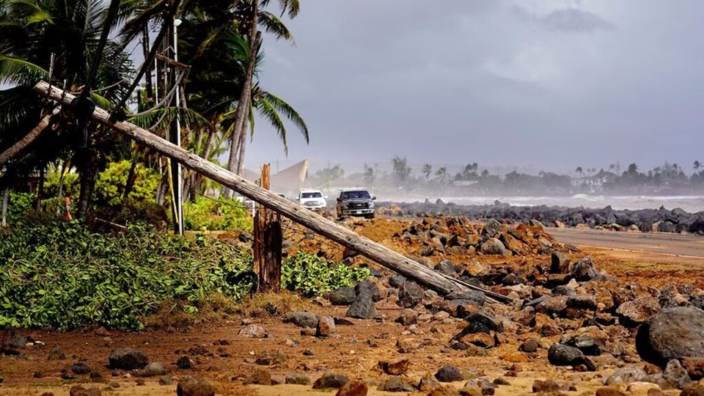
During a virtual news conference, Swain said Hurricane Marie earlier this month caused coastal property damage and erosion from waves and storm surge. He noted that El Niño — characterized by unusually warm waters in the eastern tropical Pacific — indirectly influenced those conditions.
The combination of warmer ocean conditions and powerful storms can create difficult conditions for vulnerable coastal areas.
For residents living near beaches, cliffs and other exposed sections of the Southern California coastline, additional elevated ocean levels could increase the potential for erosion and flooding.
Wetter winter could add to concerns
The potential coastal threat is also developing as El Niño is expected to strengthen toward its seasonal peak.
NOAA expects El Niño conditions to peak between November and February, increasing the likelihood of a wetter-than-average winter across California.
More rain does not automatically mean record flooding or major coastal damage, but a wetter winter combined with high tides, storms and elevated ocean levels could create more challenging conditions in vulnerable areas.
Swain emphasized that the conditions currently being observed may only be an early indication of what could come later in the season.
“What we’re seeing right now is just a preview of what we’re going to see later,” he said.
For now, forecasters will continue watching ocean conditions and the development of Kelvin waves as California moves toward the heart of the El Niño season.
Would you be concerned if Kelvin waves, king tides and a major storm hit California at the same time? Share your thoughts in the comments.