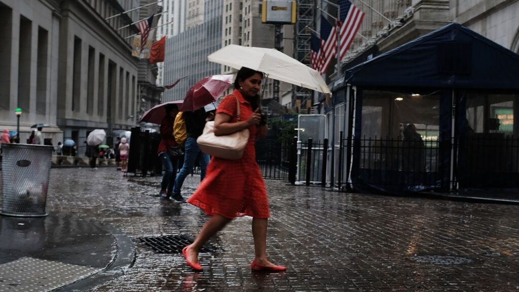
New York City, NY — Another rainy Sunday is taking shape across the tri-state region, with a low-pressure system expected to bring widespread rain and a potential flood threat to the area for the second Sunday in a row.
The weekend is expected to begin on a much quieter note. A dry, desert-like air mass will be in place Saturday, setting the stage for a pleasant day across the region.
But that dry weather will not last.
Early Sunday, a plume of deep atmospheric moisture is expected to spread across the tri-state area. That moisture will provide plenty of fuel for rain as a low-pressure system moves in and helps trigger widespread precipitation.
Sunday rain could last most of the day
Unlike the flooding event that affected the region the previous weekend, Sunday’s rainfall is not expected to be concentrated into just a few hours.
Instead, forecasters expect the rain to ramp up during the morning and continue into the evening, making for a prolonged wet day across New York City and surrounding areas.
Rainfall totals are currently expected to remain below three inches across nearly the entire tri-state region, with most locations forecast to receive between half an inch and two inches.
Because the majority of the rain should fall over several hours, rather than arriving all at once, widespread flash flooding is not necessarily expected from the general rainfall alone.
That distinction could become important as the forecast develops.
Isolated downpours could create flooding problems
While moderate rain spread over a long period generally gives the ground more time to absorb water, concentrated bands of heavy downpours could create a different situation.
Some locations could receive significantly more rainfall than surrounding areas if one of these heavier bands develops or remains over the same area for an extended period.
That is where flash flooding could become a significant concern.
Low-lying areas, poor-drainage locations and places that receive repeated heavy downpours could be particularly vulnerable if rainfall becomes concentrated.
Hudson Valley currently faces heavier rain potential
Current long-range forecast models are pointing toward the Hudson Valley, north of New York City, as a potential focus for the heaviest rainfall.
However, forecasters caution that the exact location of the heaviest rain remains difficult to determine this far ahead.
Small changes in the position and strength of the low-pressure system could shift where the heaviest precipitation develops. As a result, residents across the tri-state region should expect the forecast to be adjusted as Sunday approaches.
The potential for locally intense rainfall means an area that currently appears to face lower rainfall totals could still experience a period of much heavier precipitation.
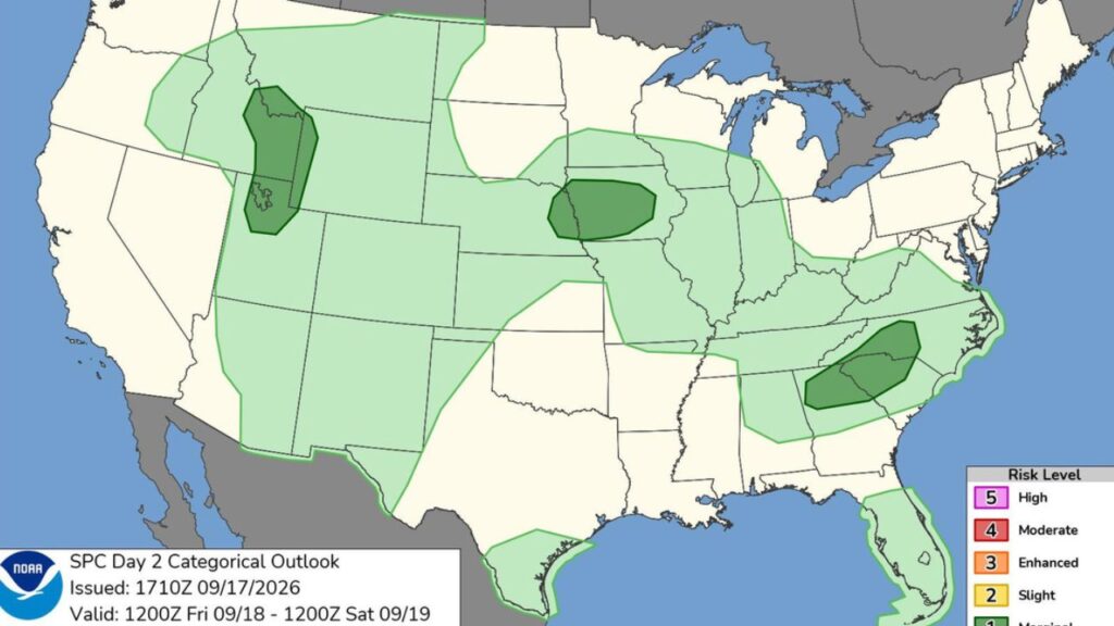
Millions Could Face Storms This Weekend — Check the Day Weather Changes in Your Region
Flood risk remains broad for the tri-state
The Weather Prediction Center is currently flagging the entire tri-state region for a moderate risk of flash flooding, reflecting the uncertainty surrounding where the heaviest rainfall could ultimately develop.
That broad risk area does not mean every location will experience flooding. Instead, it highlights the possibility that localized heavy rain could create problems in parts of the region.
Forecast confidence should improve as meteorologists get closer to Sunday and have a better understanding of the storm’s track and moisture distribution.
For now, the weather pattern points to a sharp contrast between the two weekend days: a dry and beautiful Saturday followed by a wet Sunday with a potential flood threat.
How is the rainy Sunday forecast affecting your weekend plans? Share your thoughts in the comments.