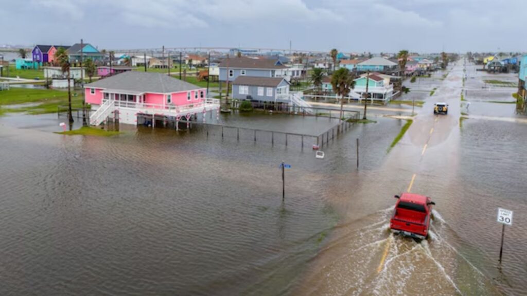
FLORIDA — The waters surrounding Florida and stretching into the Gulf of Mexico are unusually hot, creating a potentially dangerous source of fuel for tropical systems even as El Niño continues to suppress hurricane activity across the Atlantic.
“A good majority of the water around Florida and in the Gulf is now at record territory for the surface temp,” forecasters said.
The extraordinary warmth is creating an unusual contrast. Normally, very warm ocean water is one of the key ingredients needed for tropical development, but the Atlantic has yet to produce a hurricane this year.
That has put the 2026 season on the verge of an unusual place in hurricane history.
Atlantic Hurricane Season Nears Historic Record
Despite the record-warm water, no Atlantic hurricane has formed so far this year. The basin is now approaching the latest date on record for the formation of a season’s first Atlantic hurricane. Since the beginning of the satellite era in 1966, that record has been September 11.
The record was established by Hurricane Gustav in 2002 and later tied by Hurricane Humberto in 2013. With no hurricane currently in sight, 2026 could soon move into unprecedented territory.
The lack of activity does not mean the ingredients for storms are completely absent. Instead, the atmosphere and ocean are currently working against each other.
El Niño Is Fighting Against Record-Warm Water
The Atlantic’s current setup can be viewed as a tug-of-war between extremely warm ocean water and hostile atmospheric conditions.
The warm Gulf and Florida waters provide energy that developing tropical systems could potentially use. But El Niño is producing atmospheric conditions that make it much harder for those systems to organize.
One of the biggest obstacles is strong wind shear, which can disrupt developing tropical systems by pushing different parts of a storm in different directions.
As a result, even though the ocean has plenty of heat available, storms have struggled to take advantage of it.
Rare September Rain Hits Los Angeles After Hurricane Marie Remnants Sweep Into Southern California
Interestingly, El Niño is having almost the opposite effect in the Pacific, where the pattern is contributing to a major surge in tropical activity.
October Could Bring a Different Tropical Threat
The balance could shift later in the Atlantic season.
If a tropical system develops in October while a cold front pushes south, the exceptionally warm Gulf waters could provide significant energy to a storm moving relatively close to Florida, forecaster Bergren warned.
That scenario could become especially important because October is still part of the Atlantic hurricane season, meaning the region cannot be considered completely out of danger simply because the basin has been quiet so far.
A storm that develops late in the season could potentially encounter much warmer-than-normal water near Florida and the Gulf, giving it an important source of energy if atmospheric conditions become more favorable.
Quiet Hurricane Season Could Mean More Severe Weather
There is another potential concern for Florida even if the Atlantic remains unusually quiet.
Bergren noted that the combination of an inactive hurricane season and a strong El Niño pattern could help set the stage for a more active fall and winter severe-weather season across the Florida Peninsula.
That could mean an increased threat of heavy thunderstorms and tornadoes as the seasons change. In other words, a quiet Atlantic hurricane season does not necessarily mean Florida will experience quiet weather overall.
The unusually warm ocean is also part of a broader climate signal. Florida has already experienced one of its top 10 hottest summers on record, and the record-warm waters around the state reflect that extraordinary heat.
For now, the Atlantic remains unusually quiet. But with so much heat sitting in the waters around Florida and the Gulf, forecasters are watching closely to see whether the atmosphere eventually allows that stored energy to become a late-season tropical threat.
What do you think—could Florida still see a major tropical storm or hurricane this fall? Share your thoughts in the comments.