New York City, New York — A potential early-season nor’easter could develop off the Northeast coast later this week, raising concerns about heavy rain, strong winds, rough surf and coastal erosion from New York to Boston.
The storm is still several days away, and there is considerable uncertainty about exactly where the coastal low will track. However, forecast models are already identifying a developing weather pattern that could bring increasingly unsettled conditions across the Northeast by late week.
Travel could also become more difficult if heavier rain and stronger winds develop along the coast.
A Coastal Storm Could Take Shape Late This Week
The current setup involves an area of high pressure developing near the Great Lakes while a low-pressure system moves northward along the East Coast.
As the low approaches the high, the pressure difference between the two systems could cause winds to strengthen.
Forecasters are still determining how strong those winds could become, but some impacts are increasingly possible across the Northeast.
Winds could begin increasing as early as Tuesday, with the most unsettled conditions potentially arriving later in the week.
The eventual strength and location of the coastal low will be critical in determining how much rain and wind the region experiences.
Forecast Models Disagree on the Storm’s Track
Both major forecast models are picking up on the developing coastal low, but they currently disagree on its exact position.
The GFS model is more aggressive, showing the low moving closer to the Northeast coast. If that scenario occurs, communities could experience stronger winds, heavier rain and greater coastal erosion concerns.
A storm closer to the shoreline would also increase the potential for rough surf and impacts along the heavily traveled I-95 corridor.
The European model keeps the low farther offshore, which would generally result in fewer direct impacts for the Northeast compared with the closer-to-shore scenario.
That difference is important because even a relatively small shift in the storm’s track could significantly change rainfall and wind conditions across New York, Boston and surrounding coastal areas.
Forecasters should have a much clearer picture over the next several days as additional weather data becomes available.
Heavy Rain Could Cause Travel Problems
Regardless of the exact track, several inches of rain could fall across parts of the region if the storm develops as currently suggested.
Heavy rainfall along the coast could create localized flash flooding, especially if downpours become concentrated over the same areas.
The rainfall could also lead to travel disruptions across the Northeast, particularly during periods of intense precipitation.
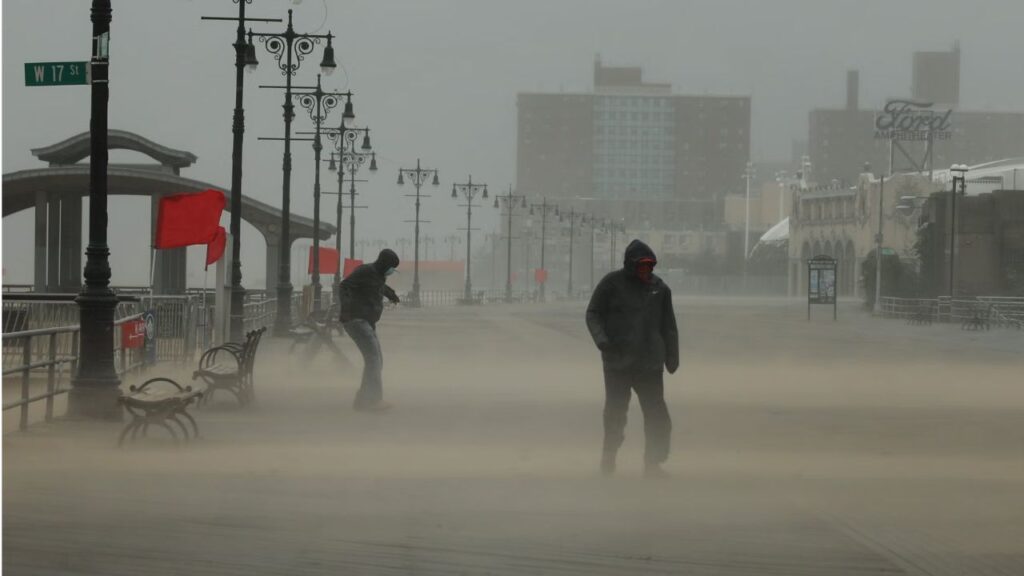
Drivers could encounter reduced visibility, ponding on roadways and slower traffic, while commuters in major metropolitan areas could face delays if rain arrives during busy travel periods.
Strong Winds and Rough Surf Are Also Possible
Rain will not be the only concern.
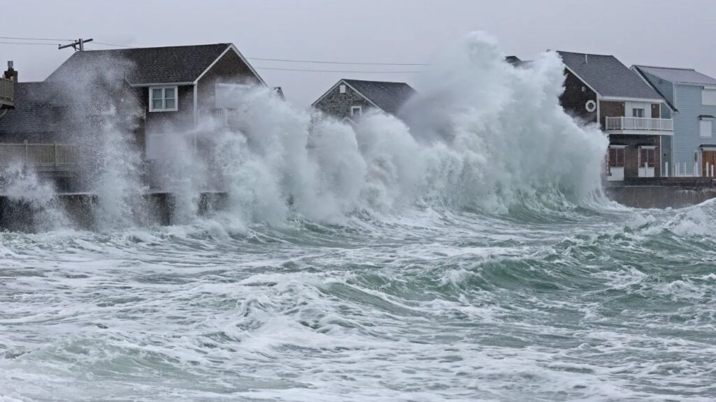
A strengthening coastal low could produce gusty winds and larger waves along the Northeast coast. Stronger winds could create difficult conditions for marine interests and increase the potential for coastal erosion.
If winds become strong enough, some communities could also experience power outages and additional travel delays.
The exact inland extent of the strongest winds remains uncertain. Much will depend on how close the low moves to the coast and how quickly it strengthens.
The storm could also linger into the weekend, with forecast models suggesting the system may remain nearby and potentially strengthen rather than quickly moving away.
What Exactly Is a Nor’easter?
Despite the name, a nor’easter does not necessarily mean snow.
A nor’easter is generally a storm in which winds affecting the Northeast come from the northeast, often associated with a low-pressure system developing or strengthening near the East Coast.
These storms are most commonly associated with late fall and winter because they frequently develop when cold air is established across the Northeast.
That is why many people immediately associate nor’easters with heavy snow, ice and winter storms.
The strongest winter nor’easters can develop along the Atlantic Ocean near the Gulf Stream, where warm, moist air interacts with colder air over the Northeast. That setup can produce major snowstorms when temperatures are cold enough.
This potential storm, however, is arriving much earlier in the season.
This One Is Expected to Be Mainly a Rainmaker
Because the potential nor’easter is developing well before the heart of winter, the primary concern this time is expected to be rain rather than snow.
That does not eliminate the possibility of significant impacts.
Heavy rain, strong winds, rough surf, coastal erosion and travel disruptions could still affect parts of the Northeast if the storm strengthens near the coast.
The forecast remains uncertain, and the difference between an offshore storm and a closer coastal low could determine how significant the impacts become.
For now, residents and travelers from New York to Boston should keep an eye on the forecast as the storm’s track becomes clearer over the coming days.
Are you in the Northeast and expecting this potential nor’easter? Share your city and what the weather is looking like in your area in the comments.