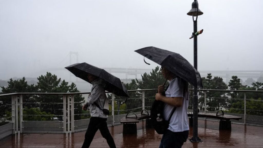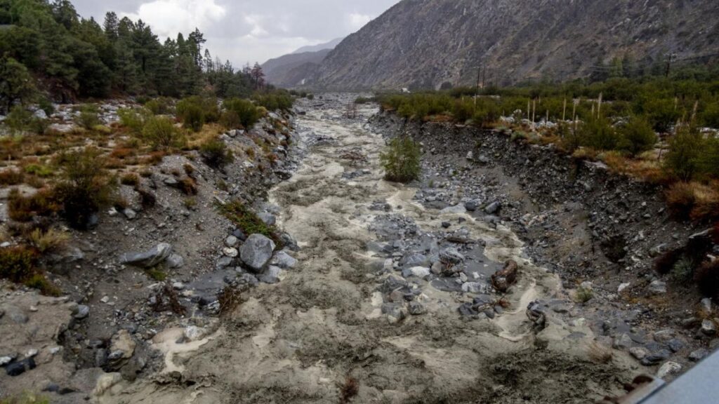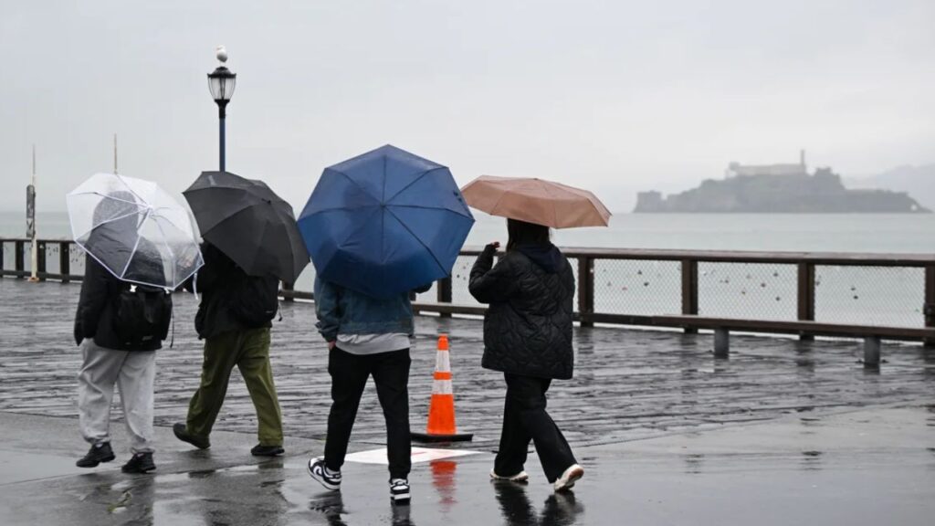
Jersey Shore, New Jersey — A strengthening nor’easter is expected to bring heavy rain, strong winds and coastal flooding to communities along the Jersey Shore this weekend, with the roughest conditions likely from Friday night through Sunday morning.
Forecast models are showing greater agreement that the coastal storm will strengthen over the Atlantic and linger offshore near the Jersey Shore. That setup could produce a prolonged period of wind-driven rain across the region while creating increasingly hazardous conditions along the coast.
The storm will begin affecting the area after a mostly dry Friday, with conditions expected to deteriorate as the weekend approaches.
Rain Arrives Friday Evening
Thursday night was partly cloudy and breezy across the region, with overnight temperatures falling into the 50s.
Friday is expected to remain dry for most communities, although clouds will gradually increase as the nor’easter approaches the coast.
The first raindrops are expected to reach the Jersey Shore Friday evening, marking the beginning of a wet and increasingly unsettled weekend.
Rainfall is expected to continue through much of Saturday and Sunday. Most of the rain should be light to moderate in intensity, but the prolonged nature of the event could still create flooding concerns, particularly near the coast.
Strongest Winds Expected Saturday Night
While rain will be an important part of the storm, strong winds could become the biggest concern as the weekend progresses. The highest wind gusts are expected from Saturday evening into Sunday morning, as the nor’easter strengthens offshore.
Those winds could make conditions particularly dangerous near beaches, piers and other exposed coastal locations. Rough seas and stronger waves are also expected as the storm continues to circulate near the New Jersey coastline.
Residents and visitors along the shore should be prepared for rapidly deteriorating conditions during the peak of the storm.
Coastal Flooding Could Get Worse
Some minor flooding had already been reported in parts of the Jersey Shore Thursday night, but forecasters expect more significant coastal impacts Friday night and through the weekend.
The combination of strong onshore winds, higher water levels and persistent waves could push water into vulnerable coastal areas. The full moon could further worsen coastal flooding, adding to the elevated water levels produced by the storm.
Communities that routinely experience flooding during coastal storms could therefore see more substantial impacts this weekend.
Dangerous Surf and Beach Erosion
The nor’easter is also expected to create high rip current risks and rough surf along the Jersey Shore.
Up to 35 Inches of Rain Possible as Hurricane Nolo Threatens Hawaii With Life-Threatening Flooding
Large waves combined with strong winds could make swimming and other water activities especially dangerous. Beach erosion is another major concern, with persistent waves expected to remove sand from vulnerable stretches of coastline.
Residents and visitors should avoid entering the water during the storm and stay away from areas experiencing dangerous surf. The strongest conditions are expected during the period when the storm is closest to the coast and its winds are at their peak.
Conditions Improve Sunday Night
The weather will not remain unsettled indefinitely.
The coastal storm is expected to gradually lift north and move farther away from the region, allowing conditions to begin improving Sunday night into Monday morning.
Rain should gradually taper as the storm pulls away, while winds are expected to weaken over time.
However, coastal flooding, beach erosion and dangerous surf conditions may take longer to fully subside, particularly in areas that experience repeated rounds of high water and large waves.
For now, the main concern remains the storm’s evolution offshore and the combination of heavy rain, high winds, coastal flooding and rough surf expected along the Jersey Shore.
Are you along the Jersey Shore this weekend? How are you preparing for the approaching nor’easter? Share your thoughts and local weather conditions in the comments below.