Pensacola, Florida — Hurricane Isaias moved toward the Gulf Coast with powerful Category 3 winds, prompting urgent warnings about life-threatening storm surge, flooding and possible tornadoes. Forecasters cautioned residents along the Florida Panhandle and neighboring coastal areas to prepare for dangerous conditions even if they were outside the storm’s projected path.
The hurricane had reached sustained winds of approximately 121 mph about 150 miles south of Pensacola on Friday afternoon. Officials warned that conditions could deteriorate rapidly as the storm approached land, with significant risks extending across parts of Florida, Alabama and Georgia.
Hurricane Isaias Threatens Florida Panhandle
Forecasts indicated that Hurricane Isaias could make landfall near the Florida Panhandle on Friday or early Saturday. The storm was expected to approach the coastline between Mobile Bay, Alabama, and Destin, Florida, bringing damaging winds and potentially destructive coastal flooding.
The National Weather Service warned residents not to rely solely on the hurricane’s forecast cone when assessing their risk.
“Hurricane impacts like damaging winds, flooding rain, tornadoes, and storm surge will impact areas OUTSIDE of the hurricane forecast cone,” the National Weather Service said Friday.
The warning highlighted how tropical systems can produce dangerous weather far from their centers. Residents were urged to monitor official forecasts and follow local emergency instructions.
Storm Surge and Heavy Rain Raise Flooding Concerns
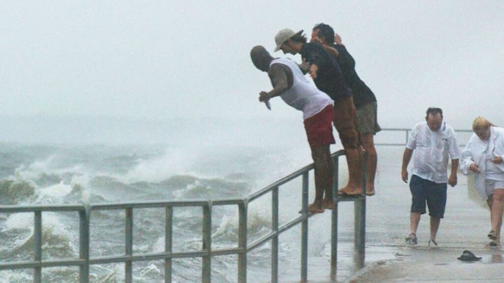
One of the major concerns was the possibility of storm surge reaching up to nine feet in vulnerable coastal areas, alongside rainfall totals of as much as 15 inches in some locations.
Storm surge can push seawater inland, flooding roads, neighborhoods and low-lying communities. When combined with heavy rainfall, it can also make evacuation routes difficult or impossible to use.
Forecasters warned that the storm could bring several hazards at once, including damaging winds, flooding rain and isolated tornadoes.
As Isaias approached, residents along the Gulf Coast began boarding up buildings and installing hurricane shutters. Preparations were especially important in areas exposed to coastal flooding and strong winds.
Florida and Alabama Declare States of Emergency
Emergency measures were announced across affected areas as officials prepared for the hurricane’s arrival. Several counties issued mandatory evacuation orders, while Florida and Alabama declared states of emergency covering numerous counties.
Florida Gov. Ron DeSantis urged residents to prepare for power outages, flooding and possible gasoline shortages. Officials also encouraged households to take evacuation guidance seriously rather than waiting until conditions worsened.
“When the water’s rising and things are happening, it’s a very, very difficult conundrum and you do not want to be caught in that,” DeSantis said.
FDA Issues Recall for Baby Supplement After Finding Ethanol, Methanol and Isopropanol
Emergency officials commonly advise residents in threatened areas to prepare essential supplies, secure outdoor objects and identify evacuation routes before dangerous weather arrives.
Hurricane Could Weaken After Moving Inland
After landfall, Isaias was expected to gradually lose strength as it moved away from the warm ocean waters that help sustain tropical cyclones. Forecasts indicated that it could weaken to a tropical storm by Saturday afternoon.
However, weakening winds would not necessarily eliminate the danger. Heavy rainfall, localized flooding and possible tornadoes could continue as the system moved inland.
Atlanta, Georgia, was among the inland areas mentioned in forecasts, with the storm potentially bringing as much as eight inches of rain to parts of the region.
Residents were advised to remain alert even after the storm moved away from the immediate coastline.
Residents Urged to Follow Official Weather Updates
The approaching hurricane underscored the importance of preparing early, especially in communities vulnerable to storm surge and flooding. Residents were encouraged to follow National Hurricane Center updates, local weather alerts and evacuation instructions from emergency management officials.
Anyone in a threatened area should avoid driving through flooded roads and should not assume that being outside the forecast cone guarantees safety.
Are you in an area affected by Hurricane Isaias? Share your local weather conditions and any preparations underway in your community.