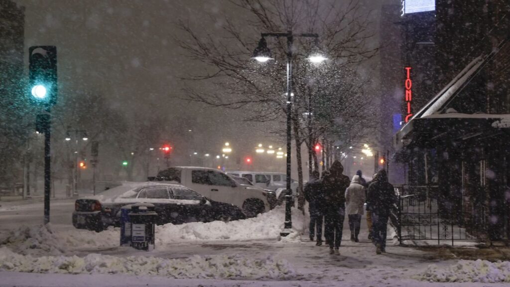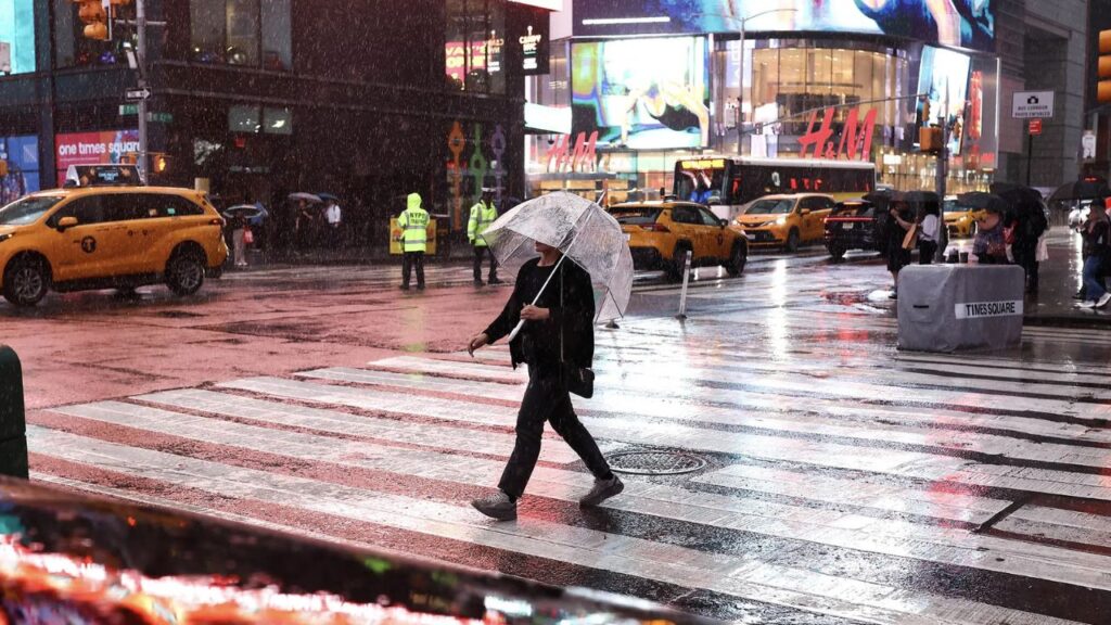
Boston, Massachusetts — A stretch of pleasant fall weather across the Northeast is expected to give way to heavy rain, strong wind gusts and potentially severe storms this weekend as a powerful cold front moves through the region.
The developing weather system is expected to bring changing conditions from the Great Lakes and Midwest into New England and the Mid-Atlantic. Several major cities, including Boston, New York City, Philadelphia and Washington, D.C., could experience repeated rounds of rain that may disrupt outdoor activities and fall foliage plans.
Forecast projections indicate that some areas could receive up to 2 inches of rain, while coastal sections of New England could see wind gusts reaching 30 to 40 mph.
Powerful Cold Front Set to Change Northeast Weather
The unsettled weather is expected to develop as an area of low pressure and an associated cold front move toward the Northeast. The system will bring cooler air into the region while increasing the potential for widespread rain and gusty winds.
Rain is forecast to spread across portions of the Midwest and Great Lakes before reaching the Northeast Thursday night and Friday morning.
As the low-pressure system strengthens, the pressure difference between it and a strong high-pressure area to the west could help generate stronger winds across the region.
The change will mark a sharp departure from the relatively mild fall conditions many residents have experienced during the week.
Travelers, commuters and people planning outdoor activities should monitor local forecasts as the front approaches, particularly if periods of heavy rain coincide with busy travel times.
Where Could the Heaviest Rain Fall?
Several locations across the Northeast could experience substantial rainfall as the system moves toward southeastern Canada.
By Friday afternoon, the developing storm is expected to bring periods of heavy rain to Syracuse, New York; Burlington, Vermont; and Bangor, Maine.
The forecast also calls for repeated rounds of rain stretching from Boston to New York City and southward through Philadelphia to Washington, D.C.
These repeated downpours could make conditions particularly unpleasant for people attending outdoor events, visiting fall foliage destinations or traveling between cities.
By early Saturday, widespread rainfall totals of approximately 0.5 to 1 inch are possible across parts of the region. Some locations in Upstate New York could receive 1 to 2 inches.
Actual totals will depend on the storm’s track, the duration of rainfall and whether individual communities experience multiple rounds of heavy showers.
Localized flooding could become a concern in places where rain falls quickly or drainage systems struggle to handle runoff.
Strong Winds Could Affect Coastal New England
Rain will not be the only weather concern as the cold front moves through the Northeast.
Wind gusts of approximately 20 to 30 mph are expected as the system approaches, with stronger gusts possible as the low-pressure area moves toward southeastern Canada.
Along the New England coast, gusts could reach 30 to 40 mph, potentially making outdoor activities uncomfortable and creating difficult conditions for high-profile vehicles.
Strong winds can also blow around unsecured outdoor furniture, branches and other loose objects. Drivers should remain alert, especially on exposed roads and bridges.
People heading to coastal areas should check updated marine and local weather advisories before making plans.
Boston, New York City and Washington Face High Rain Chances
Prediction markets on Kalshi provide another indication of the potential for wet weather across several major Northeast cities.
The figures provided in the forecast report showed the following chances of precipitation over the weekend:
- Washington, D.C.: 82%
- Boston, Massachusetts: 80%
- New York City, New York: 77%
- Philadelphia, Pennsylvania: 69%
These percentages represent prediction-market estimates, not official National Weather Service precipitation probabilities. They can change as market conditions and weather forecasts evolve.
Still, the figures suggest that people planning outdoor activities in these cities should prepare for the possibility of rain.
Residents should consult official local forecasts for the latest precipitation probabilities, rainfall timing and any severe weather alerts.
Is Severe Weather Possible This Weekend?
A Level 2 out of 5 severe weather threat has been indicated for parts of the corridor extending from Boston and New York City through Philadelphia to Washington, D.C., according to the supplied forecast information.
A Level 2 designation generally indicates a limited, or slight, risk of severe thunderstorms. It does not mean severe weather will affect every location within the outlined area.
The main concerns will depend on how the storm develops, including whether thunderstorms become strong enough to produce damaging wind gusts or other hazardous conditions.
Hurricane Isaias Spawned 18 Confirmed Tornadoes, Including 5 Powerful EF2 Twisters
Not every round of rain will necessarily bring severe weather. Residents should pay attention to local alerts rather than assuming the same conditions will occur across the entire Northeast.
What Residents Should Expect Through Saturday
The unsettled pattern could interfere with weekend plans, particularly activities involving outdoor festivals, hiking, leaf-peeping trips and sporting events.
People traveling through Upstate New York and northern New England should allow extra time if heavy rain reduces visibility or creates water-covered roads. Those in coastal communities should prepare for gusty conditions and secure loose objects outside.
Although rainfall totals and storm timing may change, the overall forecast points to a wetter and cooler weekend across much of the Northeast.
The most important details to watch are the location of the heaviest downpours, the potential for stronger thunderstorms and the timing of the cold front’s passage.
Are you planning to spend the weekend outdoors in the Northeast? Which city are you watching for heavy rain or strong winds? Share your local forecast and weekend plans in the comments below.