Florida—Florida is heading into a prolonged stretch of unsettled weather after a soggy weekend already triggered numerous flood alerts across the state. Now, another round of tropical downpours and thunderstorms is expected to keep much of Florida wet through the week, with conditions potentially becoming even more disruptive by the weekend.
The developing pattern is being fueled in part by a large high-pressure heat dome over the eastern U.S., helping create an environment favorable for gusty winds, thunderstorms and repeated bursts of heavy rainfall across Florida.
Popular destinations including Naples, Fort Myers, Miami, Boca Raton and Tampa have already begun experiencing wet weather and thunderstorms, signaling what could become a much longer period of stormy conditions.
Slow-Moving Storms Could Bring Intense Rainfall
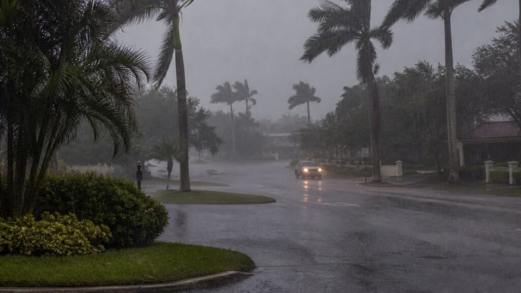
The biggest concern through Wednesday will be repeated rounds of slow-moving showers and thunderstorms. Because individual storm cells could linger over the same locations, rainfall may accumulate quickly and overwhelm drainage systems.
Some storms could produce precipitation rates of more than 1 to 2 inches per hour, creating a renewed daily flood threat in vulnerable communities.
The threat is particularly concerning because the wet pattern is not expected to be limited to a single storm system. Instead, repeated rounds of rainfall could keep ground conditions saturated while additional storms move through.
That means even areas that recently experienced unusually dry conditions could quickly face flooding concerns as the week progresses.
Storm Pattern Could Intensify Thursday
Conditions could become more complicated beginning Thursday, when a mid-level low-pressure system is forecast to move out of the Atlantic, cross the Florida peninsula and enter the Gulf of America.
Forecasters say the system is expected to become cut off as it moves across the region from Thursday into Friday.
Importantly, the disturbance is described as a cold-core low rather than a warm-core system, a distinction that matters when assessing whether a system could develop tropical characteristics.
Rather than quickly moving away, the system could become stuck over the Gulf, potentially prolonging the unsettled weather across Florida.
Why the Weekend Could Stay Stormy
A cutoff low that remains over the Gulf for several days can act as a persistent source of showers and thunderstorms. As the system lingers, surface pressures could fall and help maintain an environment supportive of additional rounds of severe weather.
For Florida residents, that could mean the storm threat does not simply disappear after one heavy-rain event. Instead, rain and thunderstorms could continue cycling through communities, keeping outdoor conditions unfavorable.
The prolonged setup could also increase the potential for localized flooding, especially in places that receive repeated downpours over several days.
Fort Myers Could Face One of the Biggest Impacts
Among the locations watching the forecast closely, Fort Myers could be one of the hardest-hit areas.
New York City Flash Flood Warning: 39 Million Under Alerts as Severe Storms Move Across East Coast
The main weather hazards expected across Florida include gusty winds, heavy rain, thunderstorms and frequent lightning. Depending on where the heaviest storms repeatedly develop, some communities could see substantially higher rainfall totals than nearby areas.
By the end of the weekend, some parts of Florida could receive around 3 to 5 inches of rain.
That amount, combined with intense hourly rainfall rates and repeated thunderstorms, could create difficult travel conditions and increase flooding concerns.
Florida Weekend Plans Could Be Washed Out
For millions of Floridians, the biggest frustration may be the timing. The unsettled pattern is expected to continue through the weekend, potentially disrupting beach trips, outdoor events, travel and other plans.
Residents should remain alert for changing weather conditions, particularly when thunderstorms are nearby. Frequent lightning, sudden heavy downpours and gusty winds can make outdoor activities hazardous even when skies appear to improve temporarily.
With several rounds of storms still ahead, Florida’s weather may remain unsettled for days rather than hours.
Are you in Florida? How is the weather where you live right now? Share your experience in the comments and let us know whether you’re expecting heavy rain this week.