CHICAGO — Residents can expect a noticeable shift in the weather pattern as clouds increase across the city and temperatures climb into the mid-70s today.
While much of the day should remain dry, a few areas could see light rain. The overall chance of precipitation remains limited during the daytime, meaning most Chicago residents may get through the day without significant weather.
Conditions could be more noticeable near Lake Michigan, however. Northeast winds could reach up to 20 mph, creating choppier conditions on the lake and making the waterfront feel cooler and breezier than areas farther inland.
The bigger weather change arrives later.
Rain and Storms Return Tonight
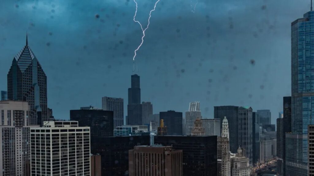
By tonight, the chance of rain and thunderstorms will increase across the Chicago area.
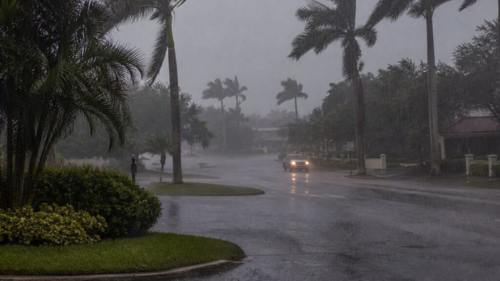
The return of storms sets the stage for a more active weather day tomorrow. While tonight’s weather may not bring widespread severe conditions, residents should be prepared for periods of rain and thunderstorms as the atmosphere becomes increasingly unsettled.
For anyone with evening plans, the changing forecast could mean a greater chance of encountering wet weather, particularly later in the night.
Severe Storm Threat Builds for Tomorrow
The most important part of the forecast comes tomorrow, when temperatures are expected to rise to around 80 degrees. Along with the warmer conditions comes a possibility for strong to severe thunderstorms, especially across areas south of I-88.
Forecasters are highlighting damaging wind as the primary threat from tomorrow’s storms. That means thunderstorms could potentially produce powerful wind gusts capable of creating difficult travel conditions and knocking down tree limbs or causing other localized problems.
The exact timing and location of the strongest storms can change as the forecast develops, so residents should keep an eye on updated weather information throughout the day.
Unsettled Weather Could Continue Into the Weekend
Chicago’s unsettled pattern is not expected to disappear immediately after tomorrow.
Wednesday is forecast to remain in the low to mid-70s, with another chance for rain and thunderstorms. Temperatures could climb back toward 80 degrees Thursday, although lingering rain may still be possible during the morning. Friday is also expected to reach around 80 degrees, but rain chances remain in the forecast.
The wet pattern could continue into the weekend as well. Saturday may be near 80 degrees, while temperatures drop slightly into the upper 70s Sunday, with additional chances for wet weather.
New York City Flash Flood Warning: 39 Million Under Alerts as Severe Storms Move Across East Coast
With several days of rain and storm chances ahead, Chicago residents may want to keep umbrellas and weather alerts close at hand.
What Chicago Residents Should Watch
The immediate concern is the transition from relatively mild conditions today to increased storm activity tonight and potentially severe weather tomorrow.
Residents in and around Chicago, particularly those traveling or spending time outdoors, should pay attention to updated forecasts as tomorrow approaches. The wind threat from stronger storms is the key concern, while additional rain and thunderstorms could keep conditions unsettled well beyond Wednesday.
For now, Chicago can expect a mild but increasingly cloudy day before the storm chances rise tonight and the more significant weather threat arrives tomorrow.
What do you think about Chicago’s upcoming weather? Are you prepared for the possible storms tomorrow? Share your thoughts in the comments and let us know how the forecast could affect your plans.