
Washington, D.C. — A potentially record-breaking El Niño is expected to influence winter weather across the United States in 2026–2027, bringing changing snowfall patterns, warmer temperatures in some regions and an increased risk of storms across others.
The latest outlook from the National Oceanic and Atmospheric Administration (NOAA) indicates that the climate pattern is strengthening. Forecasters estimate there is more than an 83% chance of a strong-to-very-strong El Niño continuing through January–March 2027, with the possibility of an event exceeding previous records dating back to 1950.
However, the effects will not be the same everywhere. Some states could experience a milder winter, while others face increased precipitation, mountain snowfall or potentially disruptive storms.
What the Latest El Niño Forecast Says
El Niño is the warm phase of the El Niño–Southern Oscillation (ENSO), a natural climate pattern involving changes in tropical Pacific Ocean temperatures and atmospheric circulation.
These changes can influence the jet stream, which helps determine where weather systems travel across North America.
NOAA’s October 8 forecast says El Niño continues to strengthen, with unusually warm ocean temperatures across parts of the eastern equatorial Pacific. The agency also warns that the likelihood of a historically strong event is elevated, although its weather impacts are not guaranteed.
For the United States, the developing pattern could shift storm tracks and change the balance between rain, snow and colder weather during the coming months.
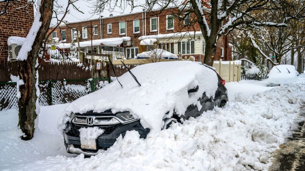
Northeast and Midwest Could See Less Snow
Parts of the Northeast and Midwest may experience below-average snowfall this winter, according to AccuWeather’s 2026–2027 seasonal forecast.
New York, Pennsylvania, Massachusetts and other northeastern states could see a winter pattern featuring more mild spells and fewer snow-producing systems than usual. Chicago and other parts of the Great Lakes region are also included in the broader outlook for reduced snowfall.
That does not mean these areas will escape winter storms altogether.
A single powerful storm can bring substantial snowfall even during a season expected to finish below average. Temperatures near the rain-snow line can also determine whether a system produces rain, wet snow or a mix of precipitation.
Meteorologists expect opportunities for significant storms to remain later in winter, particularly across portions of the interior Northeast.
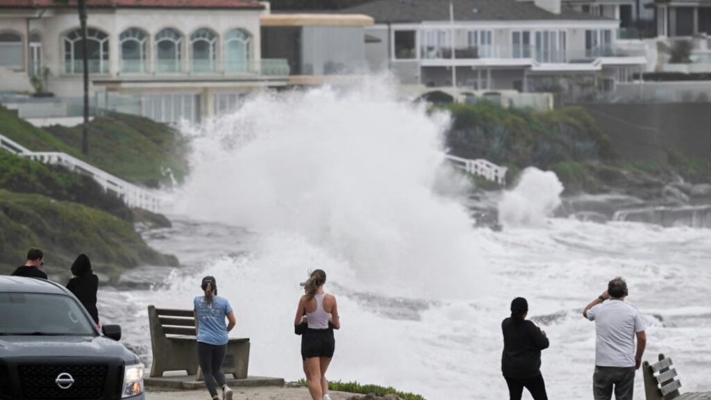
Panama Earthquake Sparks Tsunami Concerns as Dangerous Waves Batter Southern California Coast
Western States Could See More Snow
The outlook is more favorable for snowfall across several western mountain ranges.
Parts of California’s Sierra Nevada, the Great Basin, Utah’s Wasatch Range and the central Rockies could receive above-average snowfall during the 2026–2027 winter.
This could provide a boost to ski resorts and mountain communities following seasons with limited snowfall in some locations.
However, heavier mountain snow can also create difficult travel conditions, increase avalanche concerns and complicate access to remote communities.
The Pacific Northwest may experience a different pattern, with an active start to winter potentially giving way to drier conditions later in the season.
Southern States Face a Potentially Stormier Winter
The southern United States could be among the regions to watch as El Niño strengthens.
A more active southern storm track may bring periods of heavy rain across parts of the Southwest, Gulf Coast and Southeast. Some areas could face an increased risk of flooding and severe weather when conditions are favorable.
The forecast also suggests that portions of the southern Appalachians and Southeast could see occasional snowfall opportunities, particularly when colder air reaches the region during passing storms.
Even so, El Niño alone cannot determine whether a particular state will experience a major winter storm. Local temperatures, atmospheric conditions and the exact path of each system will remain important.
Could This Become a Record-Breaking El Niño?
NOAA’s latest assessment gives an elevated probability of a historically strong event, potentially surpassing previous El Niño records dating back to 1950.
The forecast does not mean every state will experience extreme winter weather. Instead, it signals that the large-scale climate pattern could influence temperatures, precipitation and storm activity in different ways across the country.
Residents should follow updates from NOAA and the National Weather Service as winter approaches, particularly if they live in areas vulnerable to heavy snowfall, flooding or severe storms.
Which part of the United States do you think will experience the biggest change this winter? Share your state and your winter weather expectations in the comments below.





One thought on “El Niño Winter Forecast Sparks New Snow Concerns for New York, Chicago and Other US Cities”