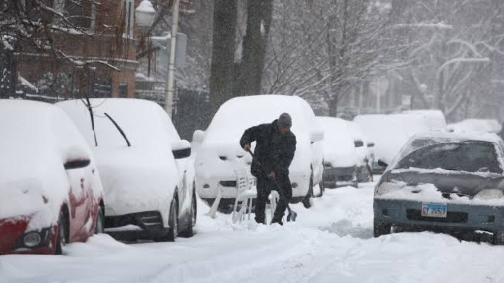
Syracuse, New York — Winter 2026–27 could bring above-average snowfall to a large portion of the United States, according to a long-range forecast map shared by meteorologist Ben Noll. The outlook highlights areas that could have a greater-than-normal chance of experiencing an especially snowy winter between December and February.
With winter still weeks away, the forecast is far from a guarantee. Long-range seasonal outlooks describe probabilities rather than specific storm totals or individual snowstorms. Still, the latest map is drawing attention because large portions of the country appear within zones with elevated chances of above-average snowfall.
Which States Could See Extra Snow?
A meteorologist published a North American snowfall probability map on October 3 showing the potential for above-average snow from December 2026 through February 2027.
The map uses blue-shaded areas to identify locations with roughly a 40% to 80% probability of receiving above-average snowfall during the three-month period.
Several states are partially or fully included within those areas.
Parts of Oregon, Idaho, Wyoming, North Dakota, South Dakota, Minnesota, Iowa, California, Nevada, Arizona, New Mexico, Texas, Arkansas, Missouri, Mississippi, Alabama, Georgia, South Carolina, North Carolina, Virginia, West Virginia, Kentucky and Ohio fall within the highlighted zones.
The outlook also covers all of Utah, Colorado, Kansas, Oklahoma and Nebraska.
That means the potential for an unusually snowy winter stretches across portions of the West, Plains, Midwest and South, rather than being concentrated in the traditional snow belts around the Great Lakes and Northeast.
What the Map Actually Means
The forecast does not mean every location shaded blue will definitely receive heavy snow.
Instead, the map represents the probability of above-average snowfall during the December-to-February period. A state can therefore have an elevated seasonal snow probability while individual cities within that state experience very different conditions.
Mountainous areas, for example, can have dramatically different snowfall patterns from lower-elevation communities located only a short distance away.
The forecast also cannot determine exactly when major snowstorms will occur or how much snow a particular city will receive.
Those details generally become much clearer closer to the start of winter and as individual weather systems enter the shorter-range forecast window.
Western and Central States Stand Out
Some of the most notable areas on the map include large portions of the Rockies and central Plains.
Utah, Colorado, Kansas, Oklahoma and Nebraska are shown entirely within the highlighted region, while neighboring states including Wyoming, Idaho and South Dakota are partially covered.
That could put communities across the interior West and Plains on alert for a potentially active winter season.
The outlook also reaches surprisingly far south, with portions of Texas, Arizona, New Mexico, Arkansas, Mississippi, Alabama and Georgia appearing in the above-average snowfall zone.
For some of these states, even a relatively small number of significant winter storms can have major effects on travel, schools and daily life.
NOAA Outlook Shows a Similar Pattern
Noll’s snowfall map is not the only long-range forecast drawing attention.
A NOAA precipitation outlook for December 2026 through February 2027 reportedly shows a broadly similar pattern across parts of North America.
Monroe County Corrections Officer Loses Job After Allegedly Stalking Ex-Girlfriend
There is an important difference, however. NOAA’s precipitation outlook considers both rain and snow, rather than focusing specifically on snowfall.
Because of that difference, the two maps do not match perfectly.
A wetter-than-normal winter does not automatically mean a snowier-than-normal winter. Temperature patterns will play a major role in determining whether precipitation falls as snow, rain or a mixture of both.
Could this winter be extra snowy where you live?!
— Ben Noll (@BenNollWeather) October 3, 2026
Take a look at this map for an estimate! 🎰 ❄️
Consistent with El Niño, odds favor more snow than normal across parts of the Intermountain West, Plains and Appalachians, according to this newly released data from CanSIPS. pic.twitter.com/95yXPJEXqt
Winter Forecasts Can Still Change
Despite the attention surrounding the map, Americans should not treat the current outlook as a final winter forecast.
Seasonal predictions can change considerably as the winter season approaches. The exact track of storms, temperatures and timing of cold-air outbreaks will ultimately determine where major snow events occur.
For now, the map provides an early indication of where forecasters see an increased chance of above-average snowfall during the core winter months.
For millions of residents across the West, Plains, Midwest and parts of the South, that could mean a winter worth watching closely.
Is your state included in the potential extra-snow zone? Are you hoping for a snowy winter or ready for as little snow as possible? Share your thoughts and your city in the comments below.