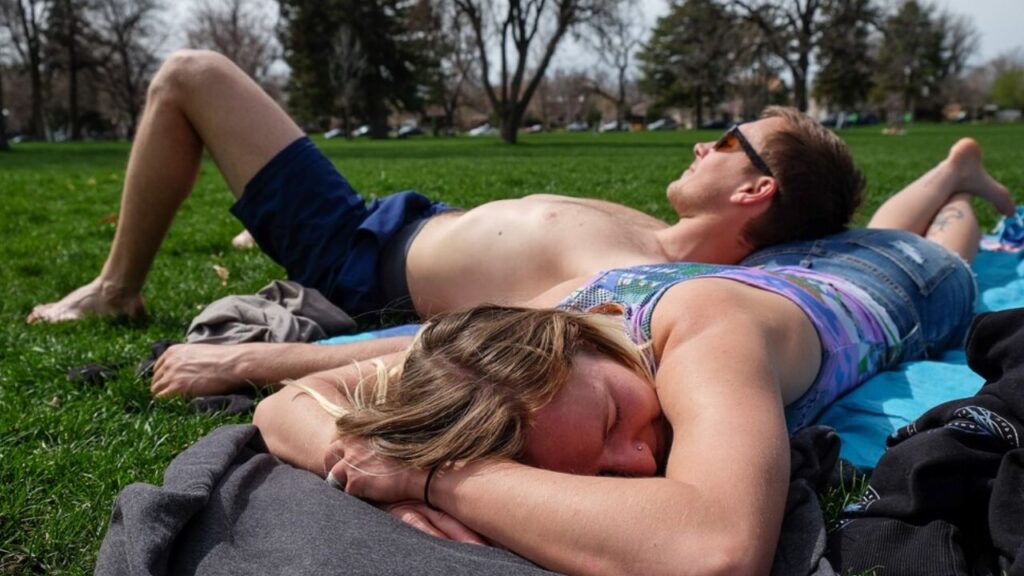
Salt Lake City, Utah — Drier weather and gradually warmer temperatures are set to return across Utah, bringing plenty of sunshine through the end of the week after an active stretch that included rain showers and flash flooding concerns.
A drier air mass is moving into the Southwest and Utah, helping clear skies across much of the state. However, moisture left behind by the remnants of Polo will continue moving north and east, keeping cloud cover and isolated showers in parts of central and eastern Utah.
The biggest remaining rain and flooding concerns are expected in the state’s extreme southeast.
Southeast Utah Still Faces a Flood Risk
Rain showers and thunderstorms are expected to linger across San Juan County, particularly through the morning and early afternoon hours.
Showers should gradually weaken later in the day before coming to an end during the evening and overnight hours. However, residents and visitors in the area should continue to watch for changing conditions because a localized flood threat remains.
Forecasters have placed the area under a Marginal, or 5%, risk of flash flooding within 25 miles.
Parts of southeastern Utah, including Canyonlands, Natural Bridges and Grand Gulch, remain in the “Possible” category for flash flooding.
The risk is not expected to approach the severity of the flooding concerns seen earlier in the week, but isolated problems could still develop where heavier showers or thunderstorms occur.
Sunshine Returns Across Northern and Western Utah
For much of western and northern Utah, conditions will be considerably quieter.
The incoming dry air mass will bring mostly sunny skies and limited cloud cover through the afternoon. Temperatures will remain relatively cool in some northern areas but should stay close to what is typical for this time of year.
Northern Utah is expected to see daytime temperatures in the 60s and low 70s, while southern Utah will remain warmer, with highs reaching the 80s.
The change will provide a noticeable contrast to the unsettled weather that affected parts of the state earlier this week.
Temperatures Rise Toward the Weekend
The warming trend will become more noticeable as high pressure strengthens over the region.
By Friday, temperatures across northern Utah could reach the low 80s, while southern Utah could see temperatures return to the 90s.
Overall, the state is expected to remain dry with plenty of sunshine as October begins.
Temperatures could climb another few degrees during the weekend, with mid-80s possible across northern Utah and additional 90-degree readings returning across southern portions of the state.
A few more clouds could develop Sunday and Monday, but widespread rainfall is not currently expected.
Hurricane Polo Nears Mexico With Monster Winds, Massive Waves and a Dangerous Flood Threat
Fall Colors Are Reaching Their Peak
The improving weather comes at an ideal time for Utah residents and visitors hoping to see the state’s fall foliage.
Higher elevations are beginning to reach peak fall colors, creating favorable conditions for leaf peepers heading outdoors this weekend.
The combination of comfortable temperatures, mostly dry conditions and colorful foliage could make the final days of the week and the upcoming weekend particularly appealing for outdoor activities.
Those planning to visit higher elevations should still prepare for cooler temperatures, especially during the morning and evening hours.
October Could Begin on a Dry Note
Long-range weather models are generally keeping precipitation below average across Utah as October gets underway.
The dry pattern is expected to remain in place as high pressure dominates the region, although some additional cloud cover could develop early next week.
For now, the overall outlook is much calmer than the active weather seen earlier in the week.
Utah residents, are you ready for the warmer and sunnier weather? Are you planning to get outside this weekend to enjoy the fall colors? Share your plans and local weather conditions in the comments.