
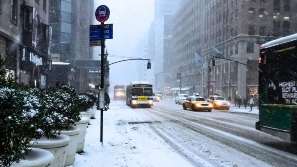
EASTERN ALASKA RANGE, Alaska — A sudden taste of winter is arriving in the mountains of eastern Alaska, where snow levels are expected to drop dramatically overnight and bring accumulating snow to ridges, basins and glacier camps.
The National Weather Service office in Fairbanks issued a winter weather advisory Sunday morning, warning that higher elevations could receive between 5 and 8 inches of snow, with heavier accumulation possible above pass level.
The advisory is in effect from midnight Sunday through 4 a.m. AKDT Tuesday.
The forecast is particularly notable because the transition will happen quickly. Rain is expected to turn to snow overnight, with the heaviest snowfall forecast Monday morning.
For anyone already camping, hunting or traveling through the mountains, that sequence could create serious challenges.
Rain Turns to Snow Overnight
The biggest concern is not simply how much snow falls, but how quickly conditions change.
The forecast calls for rain to arrive first, followed by a transition to snow as temperatures fall. That means outdoor gear could become wet before the colder air moves in.
For anyone in the backcountry, wet clothing, sleeping bags and tents can dramatically reduce the margin for staying warm.
A sleeping bag or insulating layer that was merely damp Sunday evening could become much less effective after temperatures drop overnight. Down insulation is particularly vulnerable because it loses loft when wet.
The same problem can affect footwear and other gear. Boots that become soaked during the rain may have little opportunity to dry before the snow and colder temperatures arrive.
Snow Level Could Fall to 2,000 Feet
The expected snow level is another reason this forecast stands out. Snow levels in the eastern Alaska Range could fall as low as 2,000 feet overnight, well below the higher alpine terrain.
The advisory covers two zones on either side of Trims Camp, including Donnelly Dome, Black Rapids and the Richardson Highway from Milepost 202 to Milepost 259.
Isabel Pass rises to about 3,280 feet and is the highest point along the Richardson Highway. The heaviest accumulation is expected north of the pass, but the lower snow level means snowfall could reach into brush, river bars and other areas that typically remain easier to travel through.
For people who entered the backcountry during the past week expecting late-summer conditions, the landscape could look dramatically different on the way out.
Routes that were relatively clear just days ago could become covered in wet snow, making navigation and footing more difficult.
Dall Sheep Season Adds to the Concern
The timing also matters because Alaska’s Dall sheep hunting season runs through September 20, putting the affected region squarely within hunting season.
The Delta Controlled Use Area includes the Castner and Black Rapids glaciers. The Alaska Department of Fish and Game describes the region as rugged mountain terrain, much of it surrounded by or covered with glaciers.
Motorized access and pack animals have also been permitted in the area since August 26, potentially increasing activity in the drainages.
Hunters and other backcountry visitors may be carrying substantial amounts of equipment, making a sudden retreat more difficult. Sheep hunting can also require spending long periods sitting or standing in exposed terrain while glassing mountain slopes.
That makes wet and windy conditions particularly uncomfortable and potentially dangerous.
40 MPH Winds Could Make Conditions Worse
Snowfall will not be the only threat. Winds are expected to produce gusts of up to 40 mph, while blowing snow could significantly reduce visibility at times.
Conditions above pass level could become especially difficult, with snowfall potentially exceeding the 5 to 8 inches forecast for general higher elevations. The National Weather Service has not specified how much additional snow could fall at the highest elevations.
The combination of fresh snow, strong winds and reduced visibility could make mountain travel considerably harder. For anyone already in the area, changing conditions could also make an exit route look very different from what it did when they entered.
Early Sign of Winter in Northern Alaska
Northern Alaska and the Alaska Range are among the first areas of the country to record measurable snow each year.
This latest advisory is part of an increasingly active weather pattern. NWS Fairbanks has issued three winter-related products within the past week, including a special weather statement for Atigun Pass on August 25 and an advisory for the Dalton Highway on August 27.
For now, the immediate concern is the eastern Alaska Range, where a late-summer outing could quickly become a winter-like backcountry experience.
Anyone traveling through the affected terrain should be prepared for rapidly changing conditions, wet snow, strong winds and reduced visibility through Tuesday morning.
Would you feel comfortable camping or hunting in conditions like these? Share your thoughts in the comments.








3 thoughts on “Winter Weather Takes Over Alaska Range: Heavy Snow, 40 MPH Wind Gusts and Falling Snow Levels Expected”